Rail Corridor Walk and Eat Self Guided Singapore Tour
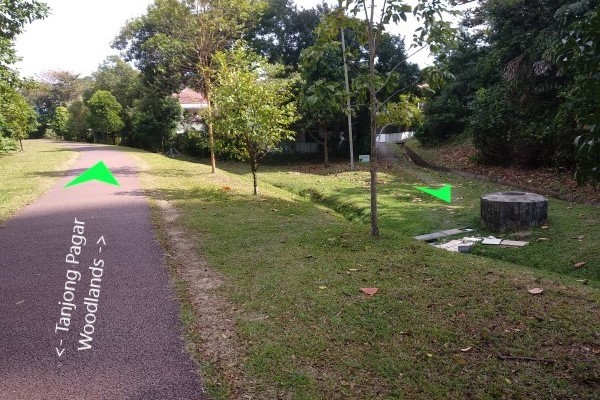
The rail corridor stretches from Kranji MRT station in the north to Spooner Road in the south.
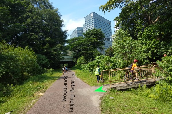
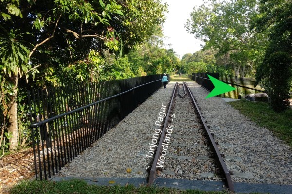
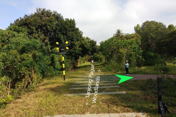
Our map shows the section of the rail corridor from Jalan Kilang Barat (off Jalan Bukit Merah) via Ghim Moh to Hillview / Rail Mall. Various points of the trail are accessible by MRT and bus and there are excellent food places along the way for you to try. The length is about 10km. The walk should take about 2.5 hours. The distance markers given at each location is the distance to Woodlands.
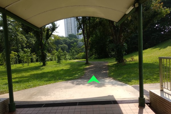
The rail corridor map will show you how to get to the rail corridor. The rail corridor is flat and paved. One section from Jalan Anak Bukit to Rail Mall / Hillview can be soggy after heavy rain. As some parts have no shade, walking between 10am to 3pm is not recommended. Check the weather forecast to make sure it is not raining on the day of your walk. You can also check stall recommendations and whether the hawker centre is closed by visiting the respective hawker centre page. Do carry sufficient water. Enjoy the walk and food.
info For information on the Rail Corridor (North) that runs from Hillview/Rail Mall to Kranji MRT.
wc Toilet available
Rail Corridor Map
To find your present position  on the Rail Corridor Map, click gps_fixed on map. Needs permission.
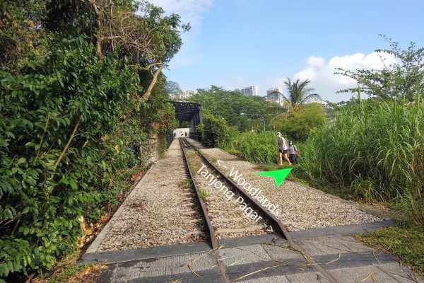
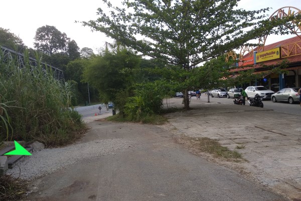
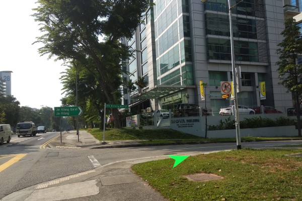
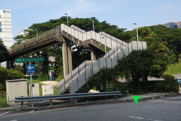
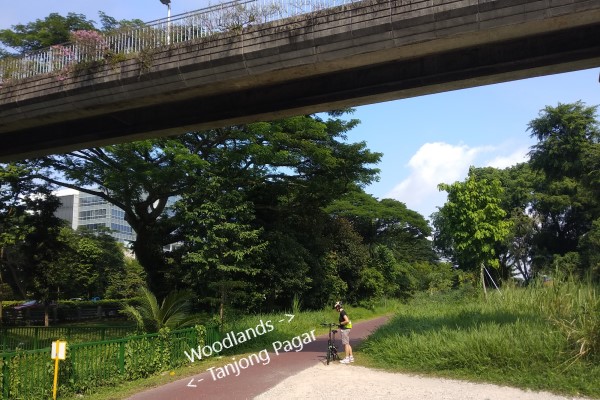
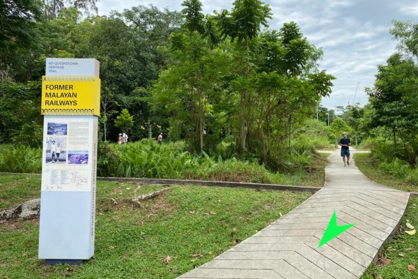
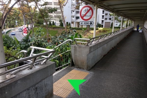
(A) Jalan Kilang Barat (21.1km)
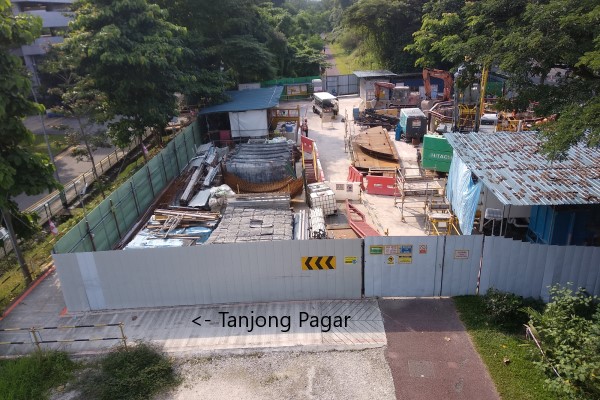
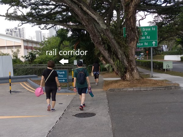
NearbyAt Jalan Bukit Merah, enter Jalan Kilang Barat. Walk 150m and at the bend, go UNDER the overhead bridge to enter the trail to go to the Rail Mall. At present, the trail towards Tanjong Pagar (via a slight detour) ends at Spooner Road.
(B) Tanglin Halt (18.5km)
Nearby
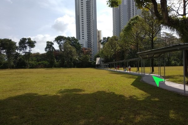
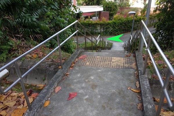
(C) Ghim Moh (17.3km)
Nearby- Bouna Vista MRT station wc
- Ghim Moh Road Hawker Centre wc
- Holland Drive Food Centre wc
There are two entrances
1. Exit Bouna Vista MRT station using the underpass to Ghim Moh. After the underpass, there is a path that leads to the trail.
2. At the overhead bridge across North Buona Vista Road, exit from the center stairs. A short distance you will see a path leading to the trail.
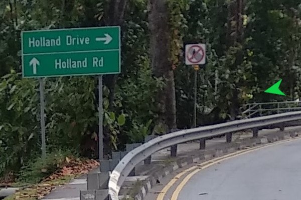
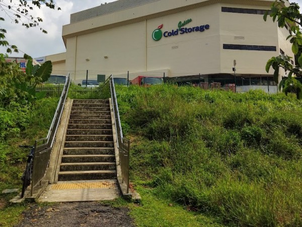
(D) Holland Road (16km)
Nearby- Cold Storage Jelita wc
- Holland Road
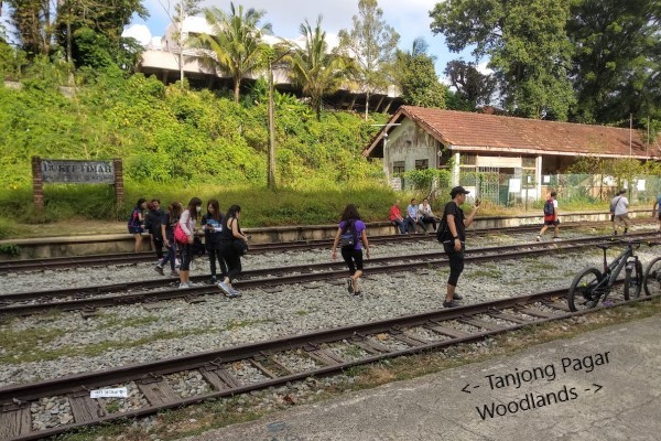
(E) Bukit Timah Railway Station (14km)
Nearby- Public Toilet wc
- King Albert Park MRT Station
- KAP Mall wc
(F) Jalan Anak Bukit (13.3km)
Nearby- Bukit Timah Food Centre wc
- Bukit Timah Plaza wc
At the exit, you will see the bus stop, overhead bridge and Bukit Timah Plaza.
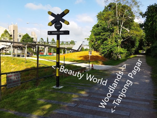
(G) Beauty World (12.8km)
Nearby- Beauty World MRT station
- Beauty World Food Centre wc
- Rifle Range Nature Park
At the exit, you will see the bus stop, overhead bridge to Beauty World Food Centre, MRT station and Rifle Range Nature Park.
(H) Hindhede Drive (12.5km)
Nearby- Bukit Timah Nature Reserve, Bukit Timah Hill
- Hindhede Nature Park, Hindhede Quarry
- Rifle Range Nature Park (alternative entrance)
At the exit, continue walking along Hindhede Drive and you will arrive at the Bukit Timah Nature Reserve Visitor Centre (100m) wc.
1. Exit by Steps
2. Exit by Ramp
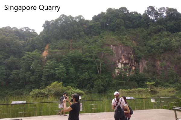
(I) Exit to Singapore Quarry (11.3km)
Up the steps, cross the bridge, walk 50m jungle trail and turn right at paved road to Singapore Quarry.
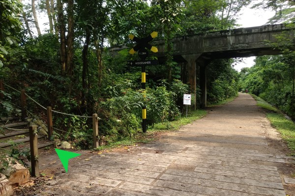
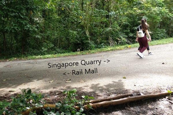
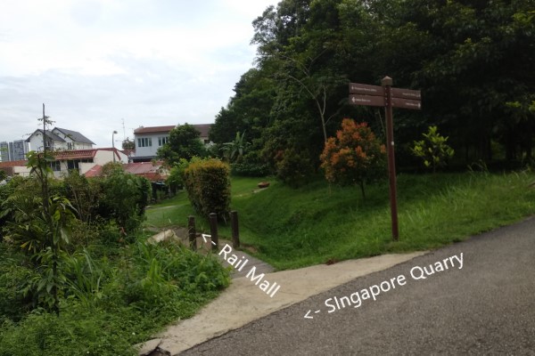
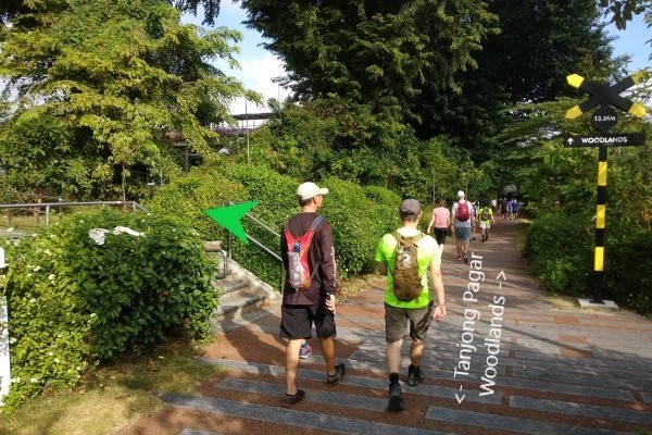
(J) Rail Mall / Hillview (11km)
Nearby- Public Toilet wc
- Hillview MRT station wc
- Rail Mall
At the exit you will see Rail Mall in front of you.